Verified
Map Areas
- Role
- Solo developer
- Period
- 2025–2026
- Stack
- PHP
- PostgreSQL/PostGIS
- Leaflet
- proj4
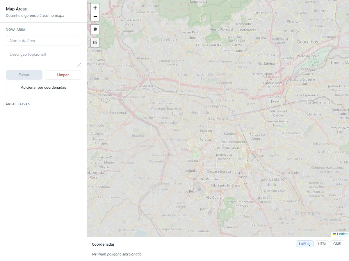
Draw and manage polygon areas on an interactive map. Save areas, clear the canvas, and add polygons by coordinates in Lat/Lng, UTM, or GMS format.
Problem and motivation
Map Areas began as a study for my work in the property registry sector: I built it to learn and apply foundational GIS concepts—capturing polygons on a map, persisting them in a spatial database, measuring area and perimeter, and converting coordinates between Lat/Lng, UTM, and GMS—without depending on a full desktop GIS suite.
Role and contributions
- Designed and built the map frontend (Leaflet + Leaflet.Draw) for drawing, listing, and inspecting polygon areas.
- Implemented the PHP backend endpoints and PostgreSQL/PostGIS schema for polygon persistence, area, and perimeter.
- Added server-side Lat/Lng ↔ UTM ↔ GMS conversion with southern-hemisphere UTM support (proj4php).
- Packaged local PostGIS via Docker and a containerized PHP path for the public demo.
Engineering decisions
- Store polygons as GEOMETRY(Polygon, 4326) with a GIST index; convert client rings to WKT for ST_GeomFromText.
- Measure area and perimeter with PostGIS geography functions so results are in km² and km.
- Limit Leaflet.Draw to polygons; use OpenStreetMap tiles for the basemap.
- Run projection transforms on the server with proj4php for display conversion and coordinate-paste polygon creation.
Technical challenges
- Getting trustworthy area and perimeter from drawings by measuring on geography, not planar degrees.
- Supporting UTM and GMS correctly for southern Brazil, including hemisphere-aware UTM definitions.
- Keeping a thin PHP API plus client map architecture while adding real spatial and CRS features.
- Hosting a public demo with free-tier cold starts and no authentication on write endpoints—acceptable for learning demos, not production hardening.
Outcomes and current status
- Primary outcome: hands-on learning and practical application of GIS fundamentals (spatial storage, map editing, and coordinate systems).
- Live demo publicly available for the draw → save → inspect workflow (cold starts possible on free hosting).
- Product UI is currently Portuguese; bilingual PT/EN support is a planned improvement in the original application repository (not implemented in this portfolio).